- Atlas entries
- 53
- UN member entries
- 44
- UN observer entries
- 1
- Other geographic entries
- 8
How to use this list
Europe includes islands, inland states, microstates and countries that extend into Asia. Regional groupings here follow the atlas dataset for consistent filters.
Central Europe



Eastern Europe


Northern Europe
 Åland Islands
 Denmark
 Estonia
 Faroe Islands
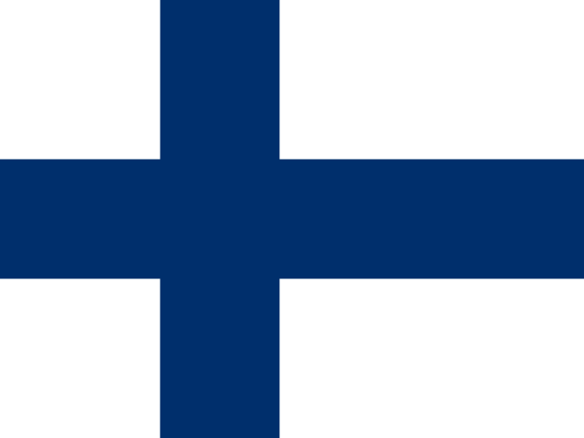 Finland
 Guernsey
 Iceland
 Ireland
 Isle of Man
 Jersey
 Latvia
 Lithuania
 Norway
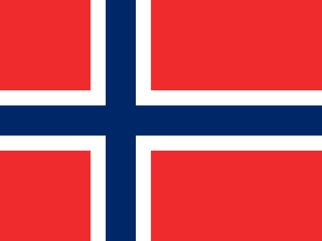 Svalbard and Jan Mayen
 Sweden
 United Kingdom
Southeast Europe
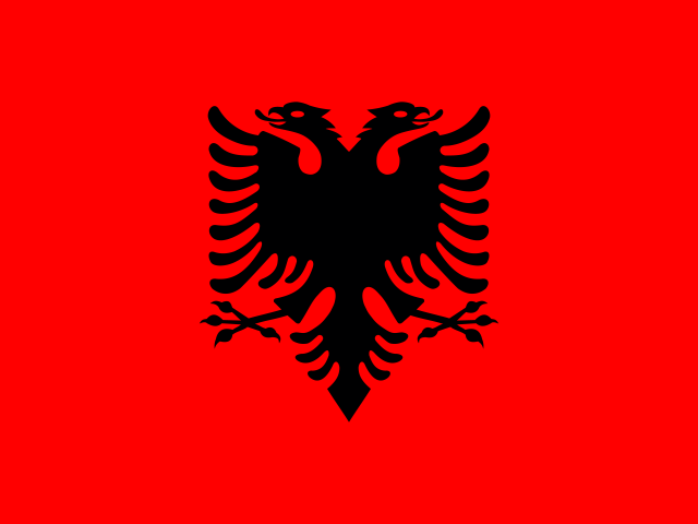


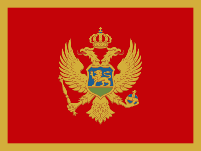


Southern Europe




Western Europe




Use seas and mountain belts as anchors
Find the Atlantic coast, the Baltic Sea, the Mediterranean, and the Black Sea before placing countries. Then locate the Alps and the Carpathians on a physical map. These features give you stable points of reference across several countries. The same anchors make it easier to remember why Portugal and Greece both have coastlines yet sit in very different parts of the region.
Compare island, mainland, and microstate profiles
Open Ireland, Switzerland, and Vatican City. Ireland illustrates how an island and a state can describe different geographic scopes. Switzerland illustrates landlocked geography in a large mountain region. Vatican City is an enclave within Rome. Use a detailed map for the last example because a world outline is too coarse to distinguish it. See the Vatican City profile.
Why Europe’s country lists differ
Transcontinental countries, overseas territories, and entries with a separate status affect many published lists. Atlas Roulette lists geographically separate entries where the dataset does so and offers a UN-member filter. For example, the Greenland profile appears in North America through geographic location while the Denmark profile appears in Europe.
Build a regional memory route
Trace a route from Portugal through Spain into France, then continue toward Switzerland. At each stop name the capital and decide whether the route follows a coast or crosses an inland border. Finish by identifying a second route that begins on a European island. Start the route with Portugal.
Try a map exercise
Compare Portugal with Switzerland. Mark the coast of one and the land neighbors of the other. Then find a European state whose size would make it hard to label on a classroom wall map.