
- Capital / administrative city
- Belgrade
- Region
- Europe
- Subregion
- Southeast Europe
- Scope
- UN member state
- Area
- 88,361 km²
- Estimated population (2025)
- 6,549,143
- Country codes
- RS / SRB
- Currencies in dataset
- Serbian dinar (RSD)
- Languages in dataset
- Serbian
- Official name in dataset
- Republic of Serbia
Population estimate: World Bank.
Serbia is listed in Europe, in the Southeast Europe subregion. The atlas lists Belgrade in its capital or administrative-city field.
Location on the map
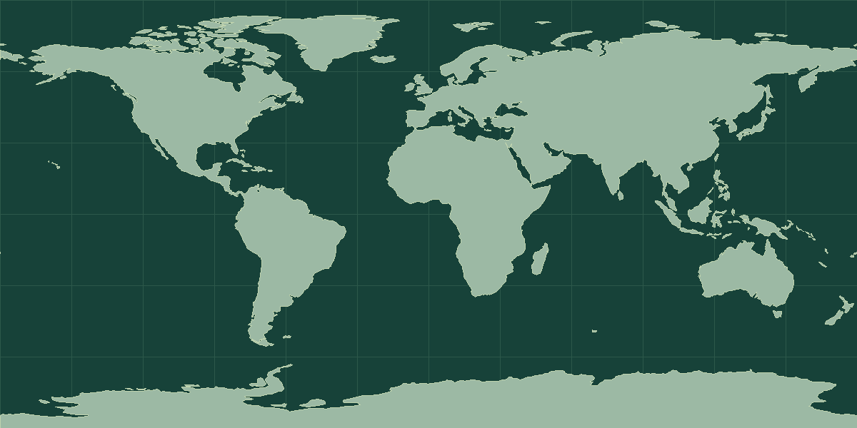
Explore on OpenStreetMap · Pin shows an approximate reference point.
Land neighbors in the atlas
Bosnia and Herzegovina, Bulgaria, Croatia, Hungary, Kosovo, North Macedonia, Montenegro, Romania
Read the map and coordinates
The atlas places the reference point for Serbia at 44° N, 21° E. Use the point to locate the entry on a world map, then zoom in to see the capital, islands, or coastline. The directory records this place as landlocked. Follow the land-neighbor links to trace a route from the interior to a coast.
Physical geography
The terrain notes for Serbia identify mountains, plains and hills. The archived climate description includes Mediterranean and humid conditions.
- Highest point
- Midzor 2,169 m
- Lowest point
- Danube and Timok Rivers 35 m
- Mean elevation
- 442 m
- Forest cover
- 40.4% (2023 est.)
- Agricultural land
- 40.4% (2023 est.)
Physical geography source: archived CIA World Factbook profile for Serbia.
Compare with Kosovo
Kosovo is a useful land-border comparison. The atlas lists Serbia at 88,361 km² and Kosovo at 10,908 km². On the map, locate Belgrade and Pristina. Trace the shared border, then compare where the capitals sit in relation to that boundary. Open the comparison tool with Serbia selected.
Serbia in context
By total area, Serbia ranks 111th among the 195 UN members and observers, at 88,361 km² (34,116 mi²). The nearest matches in size are Jordan and Azerbaijan. The World Bank estimate for 2025 is 6,549,143 people, about 74 per km². That ranks 109th of 215 atlas entries with population data and makes Serbia less densely settled than the typical entry.
The reference point is at 44° N, 21° E, in the Northern Hemisphere and in the Eastern Hemisphere. It is landlocked and shares land borders with 7 sovereign neighbors: Bosnia and Herzegovina, Bulgaria, Croatia, Hungary, North Macedonia, Montenegro, and Romania. It is one of 9 atlas entries in Southeast Europe, within Europe. The dataset lists 1 language: Serbian; 1 currency: Serbian dinar (RSD).
Common questions
What is the capital of Serbia?
The atlas lists Belgrade as the capital.
How many people live in Serbia?
The World Bank estimate for 2025 is 6,549,143. The series is dated and can be revised. Check that the geographic coverage matches before comparing it with another source.