
- Capital / administrative city
- St. Peter Port
- Region
- Europe
- Subregion
- Northern Europe
- Scope
- Other atlas entry
- Area
- 78 km²
- Country codes
- GG / GGY
- Currencies in dataset
- British pound (GBP), Guernsey pound (GGP)
- Languages in dataset
- English, French, Guernésiais
- Official name in dataset
- Bailiwick of Guernsey
Guernsey is listed in Europe, in the Northern Europe subregion. The atlas lists St. Peter Port in its capital or administrative-city field.
Location on the map
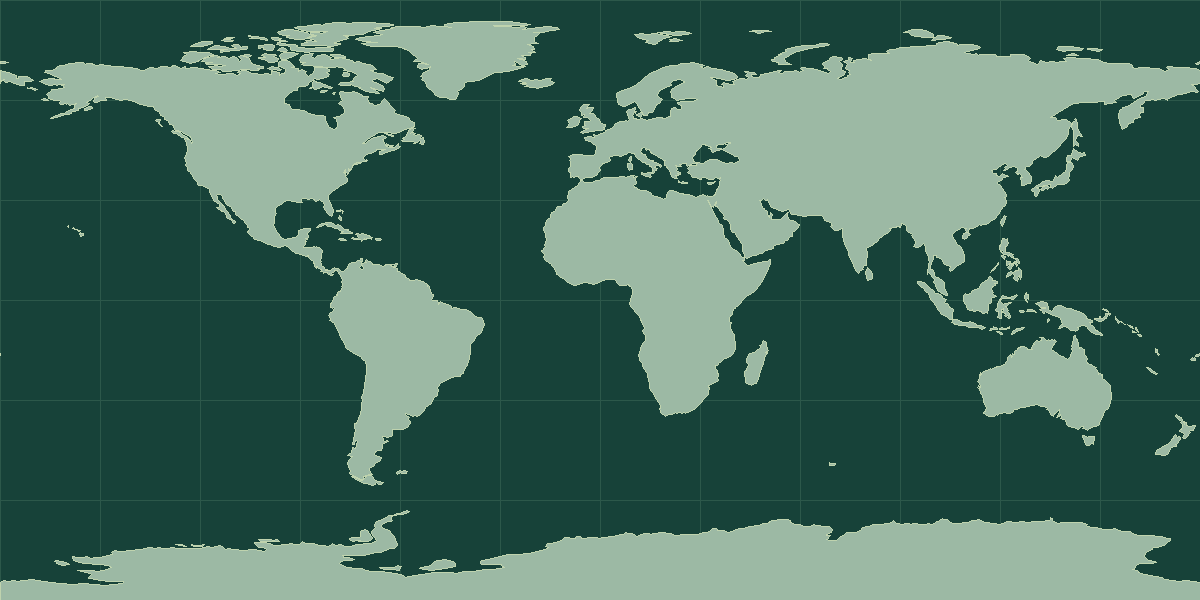
Explore on OpenStreetMap · Pin shows an approximate reference point.
Land neighbors in the atlas
No land neighbors listed.
Read the map and coordinates
The atlas places the reference point for Guernsey at 49.4667° N, 2.58333° W. Use the point to locate the entry on a world map, then zoom in to see the capital, islands, or coastline. No land neighbors appear in the atlas record. Compare the marker with nearby coasts or island groups to orient yourself.
Physical geography
The terrain notes for Guernsey identify hills. The archived climate description includes temperate conditions.
- Highest point
- Le Moulin on Sark 114 m
- Lowest point
- English Channel 0 m
- Coastline
- 50 km
- Forest cover
- 5.2% (2022 est.)
- Agricultural land
- 43.3% (2022 est.)
Coastline length is an archive estimate. The reported length can change with the measurement scale or the inclusion of small offshore features.
Physical geography source: archived CIA World Factbook profile for Guernsey.
Compare with Jersey
Jersey is a useful regional comparison. The atlas lists Jersey at 116 km² and Guernsey at 78 km². On the map, locate St. Peter Port and Saint Helier. Use the intervening water or land features to explain their positions. Open the comparison tool with Guernsey selected.
Guernsey in context
By total area, Guernsey ranks 231st among all 250 atlas entries, at 78 km² (30.12 mi²). The nearest matches in size are Anguilla and San Marino. The atlas has no recent population estimate for Guernsey, so use the area and location notes when you compare it with other places.
The reference point is at 49.47° N, 2.58° W, in the Northern Hemisphere and in the Western Hemisphere. The atlas lists no sovereign land neighbors, so its limits are coastlines and maritime boundaries. It is one of 16 atlas entries in Northern Europe, within Europe. The dataset lists 3 languages: English, French, and Guernésiais; 2 currencies: British pound (GBP) and Guernsey pound (GGP).
Landscape and climate
Guernsey is the second-largest of the Channel Islands, in the English Channel off the coast of Normandy. A low plateau slopes down to sandy bays in the north and cliffs in the south. Alderney, Sark, and Herm belong to the same Bailiwick. The climate is mild and maritime.
Facts worth knowing about Guernsey
- Guernsey is a Crown dependency, not part of the United Kingdom.
- The Bailiwick includes Alderney, Sark, and Herm.
- St. Peter Port is the capital.
- The island is closer to France than to England.
Common questions
What is the capital of Guernsey?
The atlas lists St. Peter Port as the capital or administrative city.
Which country code identifies Guernsey?
The atlas uses GG for the two-letter field and GGY for the three-letter field. The atlas methodology explains the source conventions and exceptions.