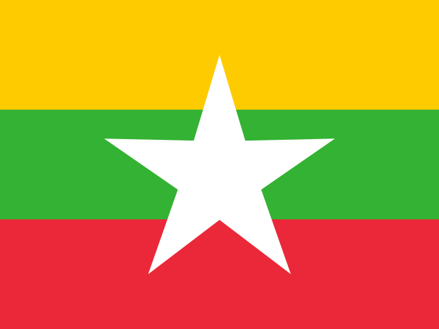
- Capital / administrative city
- Naypyidaw
- Region
- Asia
- Subregion
- South-Eastern Asia
- Scope
- UN member state
- Area
- 676,578 km²
- Estimated population (2025)
- 54,850,648
- Country codes
- MM / MMR
- Currencies in dataset
- Burmese kyat (MMK)
- Languages in dataset
- Burmese
- Official name in dataset
- Republic of the Union of Myanmar
Population estimate: World Bank.
Myanmar is listed in Asia, in the South-Eastern Asia subregion. The atlas lists Naypyidaw in its capital or administrative-city field.
Location on the map
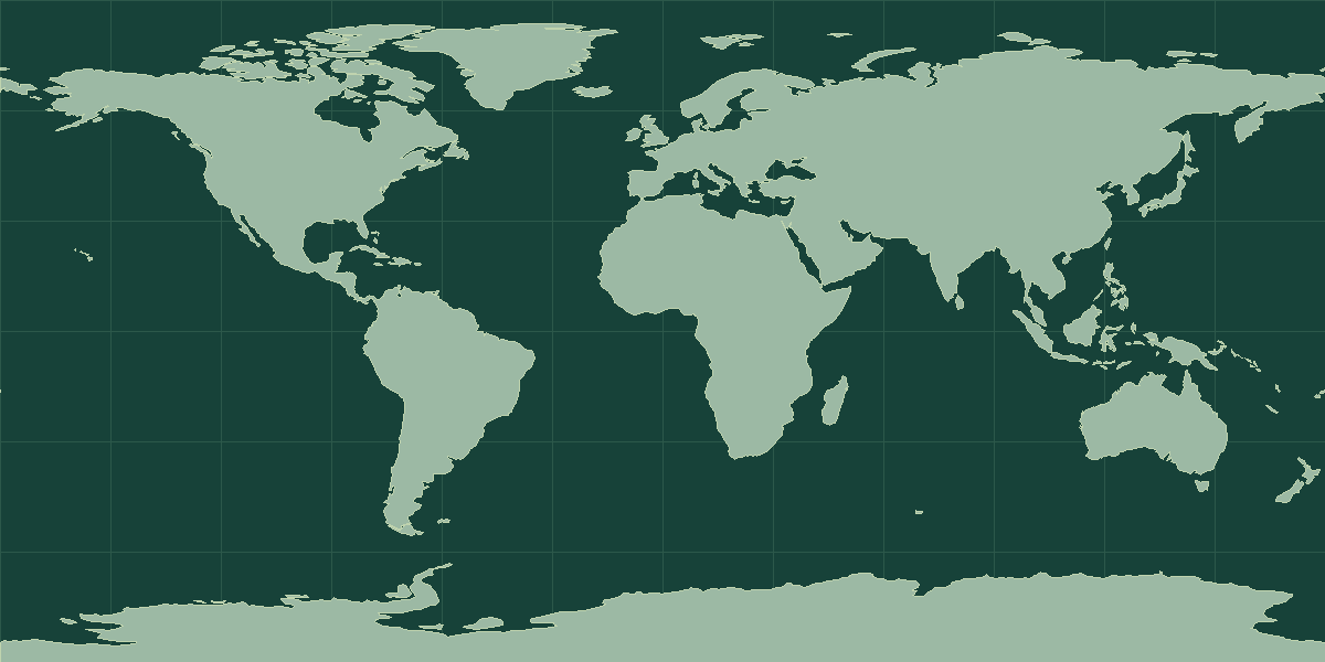
Explore on OpenStreetMap · Pin shows an approximate reference point.
Land neighbors in the atlas
Bangladesh, China, India, Laos, Thailand
Read the map and coordinates
The atlas places the reference point for Myanmar at 22° N, 98° E. Use the point to locate the entry on a world map, then zoom in to see the capital, islands, or coastline. The border list connects this map view with 5 neighboring entries in the directory.
Physical geography
The terrain notes for Myanmar identify lowlands. The archived climate description includes tropical, monsoon-influenced and humid conditions.
- Highest point
- Gamlang Razi 5,870 m
- Lowest point
- Andaman Sea/Bay of Bengal 0 m
- Mean elevation
- 702 m
- Coastline
- 1,930 km
- Forest cover
- 42.4% (2023 est.)
- Agricultural land
- 19.9% (2023 est.)
Coastline length is an archive estimate. The reported length can change with the measurement scale or the inclusion of small offshore features.
Physical geography source: archived CIA World Factbook profile for Myanmar.
Compare with Thailand
Thailand is a useful land-border comparison. The atlas lists Myanmar at 676,578 km² and Thailand at 513,120 km². On the map, locate Naypyidaw and Bangkok. Trace the shared border, then compare where the capitals sit in relation to that boundary. Open the comparison tool with Myanmar selected.
Myanmar in context
Myanmar covers 676,578 km² (261,228 mi²), which places it 39th among the 195 UN members and observers. Afghanistan and Somalia are the closest comparisons by area. The World Bank estimate for 2025 is 54,850,648 people, about 81 per km². That ranks 27th of 215 atlas entries with population data and makes Myanmar close to the typical settlement density.
The reference point is at 22° N, 98° E, in the Northern Hemisphere and in the Eastern Hemisphere. It shares land borders with 5 sovereign neighbors: Bangladesh, China, India, Laos, and Thailand. It is one of 11 atlas entries in South-Eastern Asia, within Asia. The dataset lists 1 language: Burmese; 1 currency: Burmese kyat (MMK).
Landscape and climate
Myanmar is built around the Irrawaddy River, which flows from north to south and reaches the Andaman Sea through a large delta. Mountain ranges form a horseshoe around the central plain, with the Himalayan foothills in the far north, and the Shan Plateau lies in the east. The coastline stretches along the Bay of Bengal and the Andaman Sea. A monsoon climate brings a wet season from about May to October.
Facts worth knowing about Myanmar
- Hkakabo Razi in the far north is among the highest peaks in Southeast Asia.
- The Irrawaddy delta is one of the main rice-growing regions in the region.
- Naypyidaw became the seat of government in the mid-2000s, replacing Yangon.
- Yangon remains the largest city.
Common questions
What is the capital of Myanmar?
The atlas lists Naypyidaw as the capital.
How many people live in Myanmar?
The World Bank estimate for 2025 is 54,850,648. The series is dated and can be revised. Check that the geographic coverage matches before comparing it with another source.