- Capital / administrative city
- Mamoudzou
- Region
- Africa
- Subregion
- Eastern Africa
- Scope
- Other atlas entry
- Area
- 374 km²
- Country codes
- YT / MYT
- Currencies in dataset
- Euro (EUR)
- Languages in dataset
- French
- Official name in dataset
- Department of Mayotte
Mayotte is listed in Africa, in the Eastern Africa subregion. The atlas lists Mamoudzou in its capital or administrative-city field.
Location on the map
Explore on OpenStreetMap · Pin shows an approximate reference point.
Land neighbors in the atlas
No land neighbors listed.
Read the map and coordinates
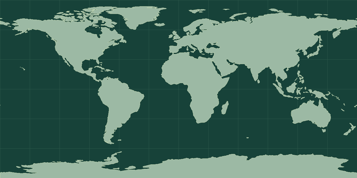
The atlas places the reference point for Mayotte at 12.8333° S, 45.1667° E. Use the point to locate the entry on a world map, then zoom in to see the capital, islands, or coastline. No land neighbors appear in the atlas record. Compare the marker with nearby coasts or island groups to orient yourself.
Physical geography and map context
Mayotte lies in the Mozambique Channel within the Comoros archipelago. Look for Grande-Terre and Petite-Terre on a detailed map. At world scale the islands can be hard to distinguish from the other entries between Madagascar and the African mainland.
Reference: geographic and territorial source.
Compare with Réunion
Réunion is a useful regional comparison. The atlas lists Réunion at 2,511 km² and Mayotte at 374 km². On the map, locate Mamoudzou and Saint-Denis. Use the intervening water or land features to explain their positions. Open the comparison tool with Mayotte selected.
Mayotte in context
Mayotte covers 374 km² (144 mi²), which places it 210th among all 250 atlas entries. Saint Vincent and the Grenadines and Saint Helena, Ascension and Tristan da Cunha are the closest comparisons by area. The atlas has no recent population estimate for Mayotte, so use the area and location notes when you compare it with other places.
The reference point is at 12.83° S, 45.17° E, in the Southern Hemisphere and in the Eastern Hemisphere. The atlas lists no sovereign land neighbors, so its limits are coastlines and maritime boundaries. It is one of 20 atlas entries in Eastern Africa, within Africa. The dataset lists 1 language: French; 1 currency: Euro (EUR).
Landscape and climate
Mayotte is a volcanic island in the Comoros archipelago, between Madagascar and the African mainland. It has two main islands, Grande-Terre and Petite-Terre, surrounded by one of the largest enclosed lagoons in the world, with a barrier reef. The land is hilly, with Mount Benara as the highest point. The climate is tropical with a wet season.
Facts worth knowing about Mayotte
- Mayotte is an overseas department and region of France.
- A barrier reef encloses a large lagoon around the island.
- Mount Benara is the highest point.
- Mamoudzou is the largest town and administrative center.
Common questions
What is the capital of Mayotte?
The atlas lists Mamoudzou as the capital or administrative city.
Which country code identifies Mayotte?
The atlas uses YT for the two-letter field and MYT for the three-letter field. The atlas methodology explains the source conventions and exceptions.