
- Capital / administrative city
- Sucre / La Paz
- Region
- South America
- Subregion
- South America
- Scope
- UN member state
- Area
- 1,098,581 km²
- Estimated population (2025)
- 12,581,843
- Country codes
- BO / BOL
- Currencies in dataset
- Bolivian boliviano (BOB)
- Languages in dataset
- Aymara, Guaraní, Quechua, Spanish
- Official name in dataset
- Plurinational State of Bolivia
Population estimate: World Bank.
Bolivia is listed in South America, in the South America subregion. The atlas lists Sucre / La Paz in its capital or administrative-city field.
Location on the map
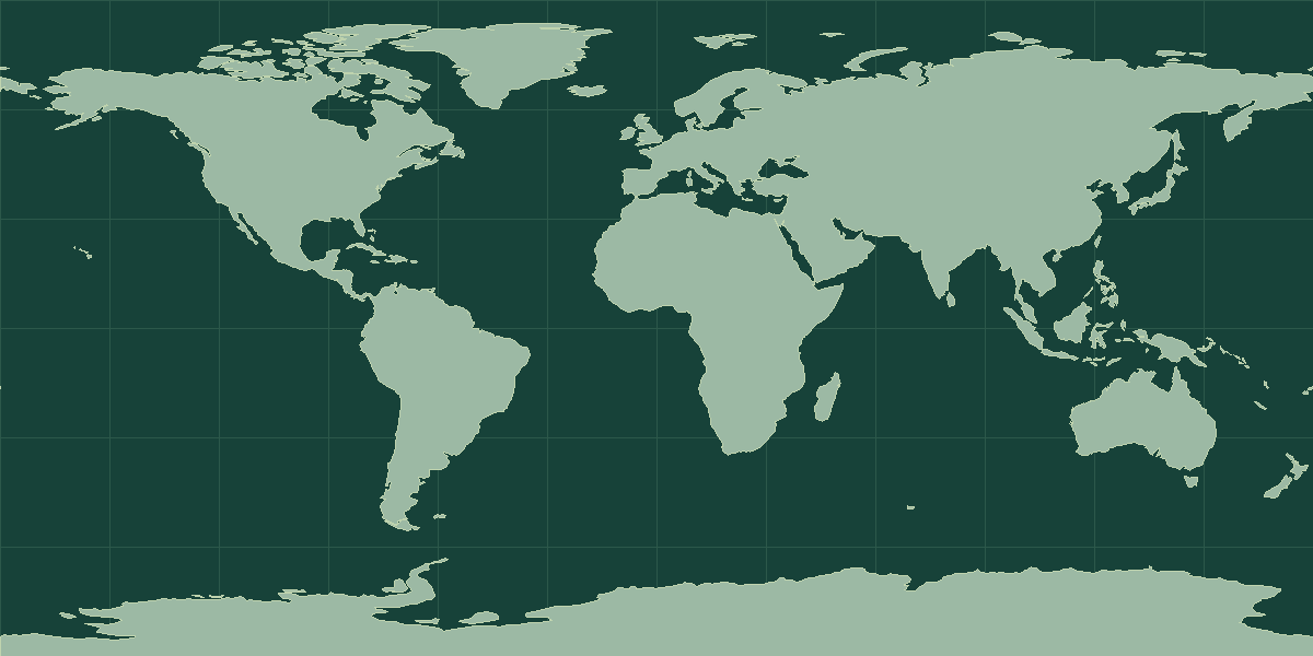
Explore on OpenStreetMap · Pin shows an approximate reference point.
Land neighbors in the atlas
Argentina, Brazil, Chile, Paraguay, Peru
Geography notes
Bolivia is landlocked, but its terrain runs from the high Andes to much lower eastern plains. Sucre is the constitutional capital and La Paz is the seat of government.
Try this map exercise
Find both cities on the same map and compare their elevations before using the capital quiz.
Read the map and coordinates
The atlas places the reference point for Bolivia at 17° S, 65° W. Use the point to locate the entry on a world map, then zoom in to see the capital, islands, or coastline. The directory records this place as landlocked. Follow the land-neighbor links to trace a route from the interior to a coast.
Physical geography
The terrain notes for Bolivia identify mountains, plateaus, plains, hills and lowlands. The archived climate description includes tropical, arid or semiarid and humid conditions.
- Highest point
- Nevado Sajama 6,542 m
- Lowest point
- Rio Paraguay 90 m
- Mean elevation
- 1,192 m
- Forest cover
- 50.6% (2023 est.)
- Agricultural land
- 35.8% (2023 est.)
Physical geography source: archived CIA World Factbook profile for Bolivia.
Compare with Paraguay
Paraguay is a useful land-border comparison. The atlas lists Bolivia at 1,098,581 km² and Paraguay at 406,752 km². On the map, locate Sucre and Asunción. Trace the shared border, then compare where the capitals sit in relation to that boundary. Open the comparison tool with Bolivia selected.
Bolivia in context
By total area, Bolivia ranks 27th among the 195 UN members and observers, at 1,098,581 km² (424,164 mi²). The nearest matches in size are Ethiopia and Colombia. The World Bank estimate for 2025 is 12,581,843 people, about 11 per km². That ranks 78th of 215 atlas entries with population data and makes Bolivia far less densely settled than the typical entry.
The reference point is at 17° S, 65° W, in the Southern Hemisphere and in the Western Hemisphere. It is landlocked and shares land borders with 5 sovereign neighbors: Argentina, Brazil, Chile, Paraguay, and Peru. It is one of 14 atlas entries in South America, within South America. The dataset lists 4 languages: Aymara, Guaraní, and Quechua and others; 1 currency: Bolivian boliviano (BOB).
Landscape and climate
Bolivia is landlocked and has a very high plateau, the Altiplano, between two Andean ranges. Lake Titicaca lies on its border with Peru, and the Salar de Uyuni, the world’s largest salt flat, lies in the southwest. East of the Andes, the land drops to lowland forests and plains. Bolivia lost its coast to Chile in the late nineteenth century.
Facts worth knowing about Bolivia
- The Salar de Uyuni is the largest salt flat in the world.
- Bolivia has been landlocked since the end of the War of the Pacific.
- La Paz, the seat of government, is one of the highest capital cities in the world.
- The country has two capitals in the atlas, Sucre and La Paz.
Common questions
What is the capital of Bolivia?
The atlas records Sucre and La Paz. The cities can serve different administrative roles.
How many people live in Bolivia?
The World Bank estimate for 2025 is 12,581,843. The series is dated and can be revised. Check that the geographic coverage matches before comparing it with another source.