
- Capital / administrative city
- Papeetē
- Region
- Oceania
- Subregion
- Polynesia
- Scope
- Other atlas entry
- Area
- 4,167 km²
- Estimated population (2025)
- 282,465
- Country codes
- PF / PYF
- Currencies in dataset
- CFP franc (XPF)
- Languages in dataset
- French
- Official name in dataset
- French Polynesia
Population estimate: World Bank.
French Polynesia is listed in Oceania, in the Polynesia subregion. The atlas lists Papeetē in its capital or administrative-city field.
Location on the map
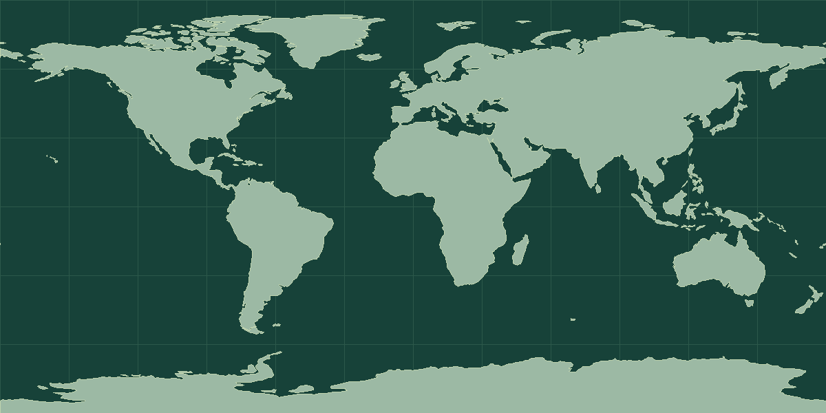
Explore on OpenStreetMap · Pin shows an approximate reference point.
Land neighbors in the atlas
No land neighbors listed.
Read the map and coordinates
The atlas places the reference point for French Polynesia at 15° S, 140° W. Use the point to locate the entry on a world map, then zoom in to see the capital, islands, or coastline. No land neighbors appear in the atlas record. Compare the marker with nearby coasts or island groups to orient yourself.
Physical geography
The archived climate description includes tropical conditions.
- Highest point
- Mont Orohena 2,241 m
- Lowest point
- Pacific Ocean 0 m
- Coastline
- 2,525 km
- Forest cover
- 43.1% (2023 est.)
- Agricultural land
- 8.7% (2023 est.)
Coastline length is an archive estimate. The reported length can change with the measurement scale or the inclusion of small offshore features.
Physical geography source: archived CIA World Factbook profile for French Polynesia.
Compare with Pitcairn Islands
Pitcairn Islands is a useful regional comparison. The atlas lists French Polynesia at 4,167 km² and Pitcairn Islands at 47 km². On the map, locate Papeetē and Adamstown. Use the intervening water or land features to explain their positions. Open the comparison tool with French Polynesia selected.
French Polynesia in context
French Polynesia covers 4,167 km² (1,609 mi²), which places it 176th among all 250 atlas entries. Cabo Verde and South Georgia are the closest comparisons by area. The World Bank estimate for 2025 is 282,465 people, about 68 per km². That ranks 179th of 215 atlas entries with population data and makes French Polynesia less densely settled than the typical entry.
The reference point is at 15° S, 140° W, in the Southern Hemisphere and in the Western Hemisphere. The atlas lists no sovereign land neighbors, so its limits are coastlines and maritime boundaries. It is one of 10 atlas entries in Polynesia, within Oceania. The dataset lists 1 language: French; 1 currency: CFP franc (XPF).
Common questions
What is the capital of French Polynesia?
The atlas lists Papeetē as the capital or administrative city.
How many people live in French Polynesia?
The World Bank estimate for 2025 is 282,465. The series is dated and can be revised. Check that the geographic coverage matches before comparing it with another source.